Railways
Projects & Case Studies
Representative BTPL assignments — the requirement, the methodology and the deliverables. Case studies are published only after client-sensitive details are cleared.
What kind of projects has BTPL completed?
Bearing Technology Private Limited (BTPL) has completed survey assignments in 12 or more Indian states since 2009, covering more than 1,600 km of infrastructure corridor and more than 3,350 acres of mapped ground. The case studies below are drawn from that work. The most recent is a drone LiDAR and bathymetric survey of about 2.5 km² of the Ganga riverfront at Garhmukteshwar, Uttar Pradesh, for Hapur Zila Panchayat, ahead of the Garh Ganga Mela 2026; among the others are a 330 km greenfield canal alignment survey from the Odisha border to Rajahmundry, Andhra Pradesh, for Balaji Surveyors Pvt Ltd; the 310 km Bathinda–Bikaner railway doubling Final Location Survey for DIMTS; a 30 km combined UAV and bathymetric survey on the Mumbai High-Speed Rail alignment for Afcons; a 200 km bathymetric survey of the Imphal river; statewide DGPS ground truthing across Jammu & Kashmir including Ladakh for the Flood Control Department, J&K, through Suhora Technologies Pvt Ltd; 121 km of existing highway corridor in Odisha for NHAI, through Balaji Surveyors Pvt Ltd; a topographic survey of approximately 350 acres of the Delhi Zoological Park, with a Ground Penetrating Radar survey within the same campus, for CPWD; and a corridor survey of approximately 30 km from Sarai Kale Khan in Delhi to the Sonipat border in Haryana, for NCRTC, through Mega Engineers, Noida.
Each case study sets out what the client required, how BTPL surveyed it, how the data was processed and verified, and what was delivered. Use the filters to narrow the list by sector or method.
Railways
Government / Water Resources
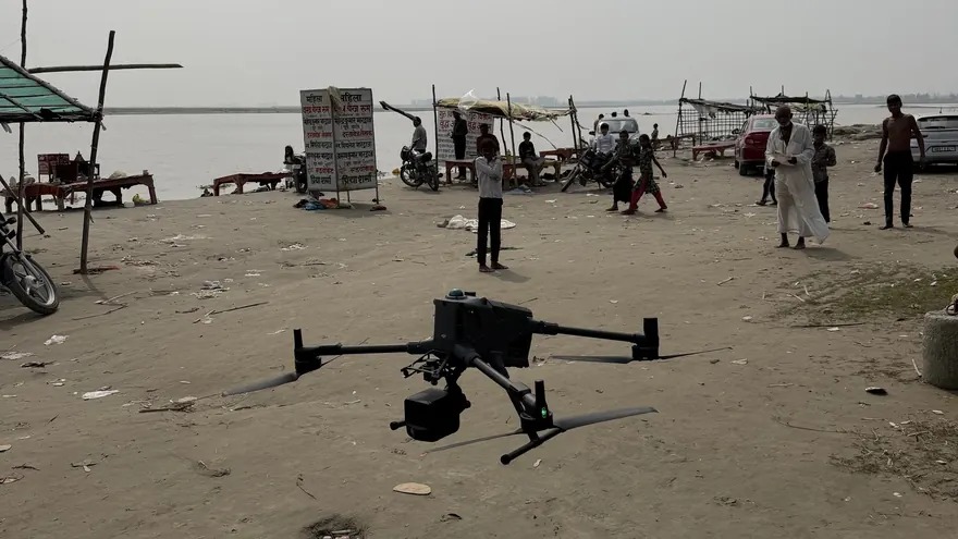
Garhmukteshwar Riverfront — Drone LiDAR & Bathymetric Survey
Water Resources
Greenfield Canal Alignment Survey — 330 km
Balaji Surveyors Pvt Ltd
Railways
Bathinda–Bikaner Railway Doubling — Final Location Survey
Railways
Mumbai High-Speed Rail — UAV & Bathymetric Survey
Water Resources
Imphal River Bathymetric Survey — 200 km
Balaji Surveyors Pvt Ltd
Government / Geospatial
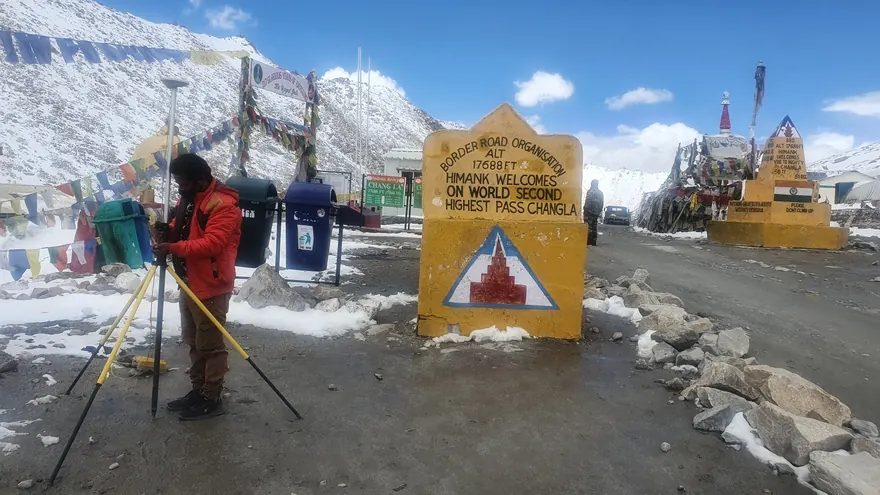
Satellite Image Ground Truthing — J&K and Ladakh
Roads & Highways
NHAI Highway Corridor Surveys — Cuttack & Sambalpur
Balaji Surveyors Pvt Ltd
Urban / Government
Delhi Zoological Park — Topographic & GPR Survey
Railways & Metro
NCRTC Corridor Survey — Sarai Kale Khan to Sonipat
Railways
Dimapur Railway Doubling Project
Roads & Highways
Ernakulam Greenfield Bypass Road
Balaji Surveyors Pvt Ltd
Slope Stability / Disaster Management
Landslide Site Surveys — 7 Locations
NHAI (as third party)
Roads & Highways
Urban Development
DDA Topographic Surveys — 2,000 acres
DDA
Urban Development
Urban Development
Geospatial
GCP Network with DGPS — 6 Stations
Urban Development
GPR Subsurface Survey — DDA Area
DDA
Power & Hydro
Kishtwar Bathymetric Survey — HEP Project
Industrial Infrastructure
IOCL Refinery Surveys — Bongaigaon & Vadodara
Power & Hydro
Hydro-Electric Projects — 3 Sites, J&K
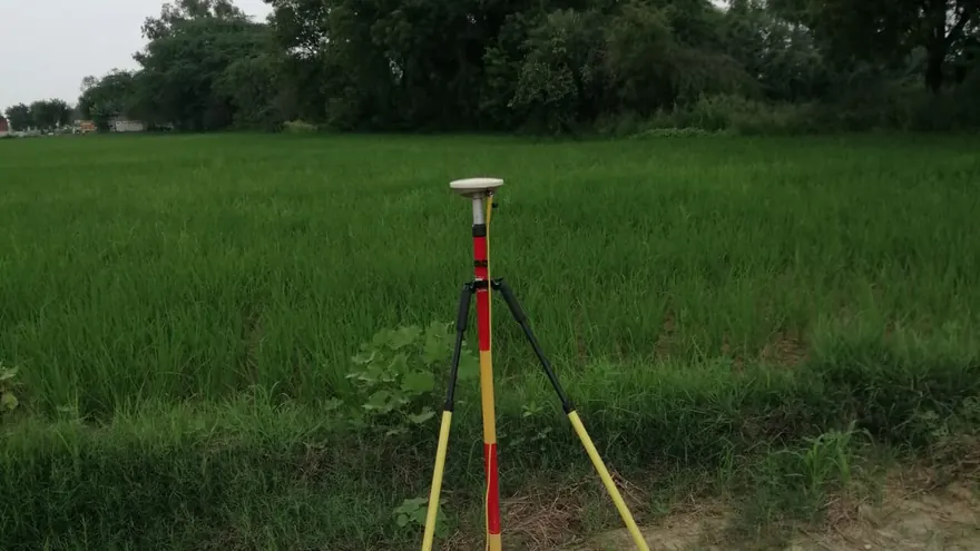
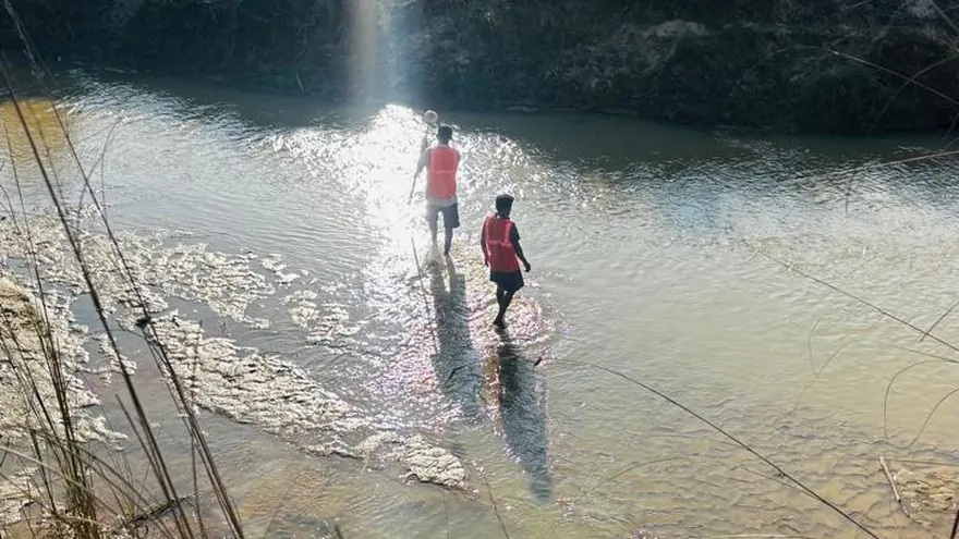
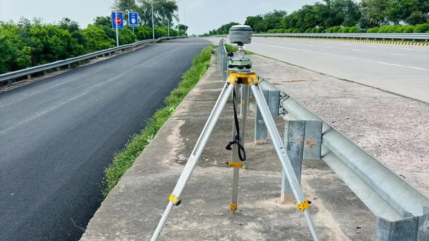
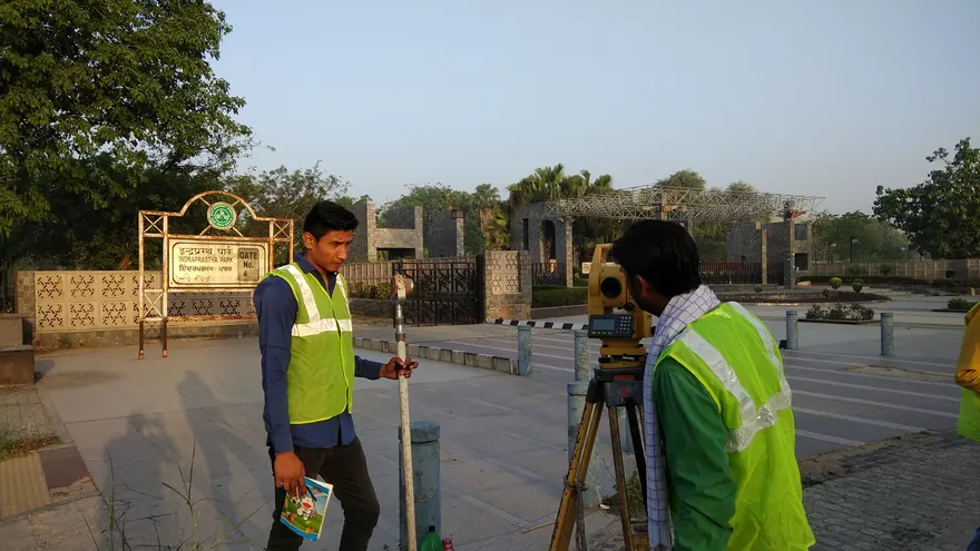
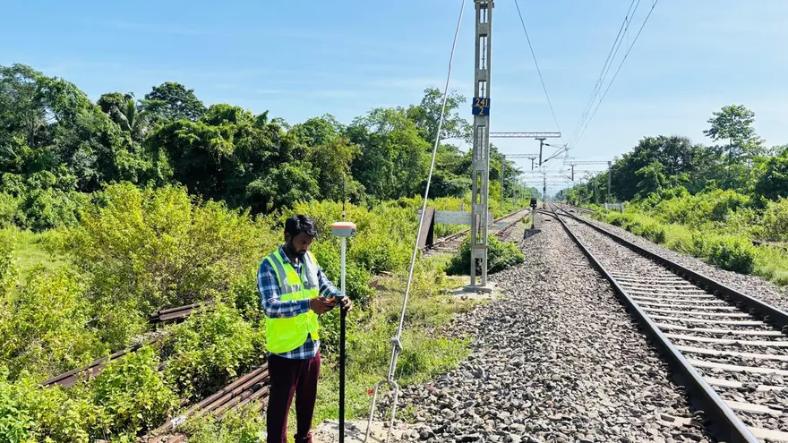
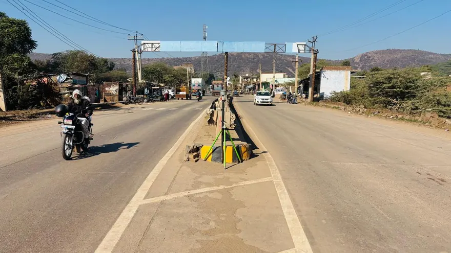
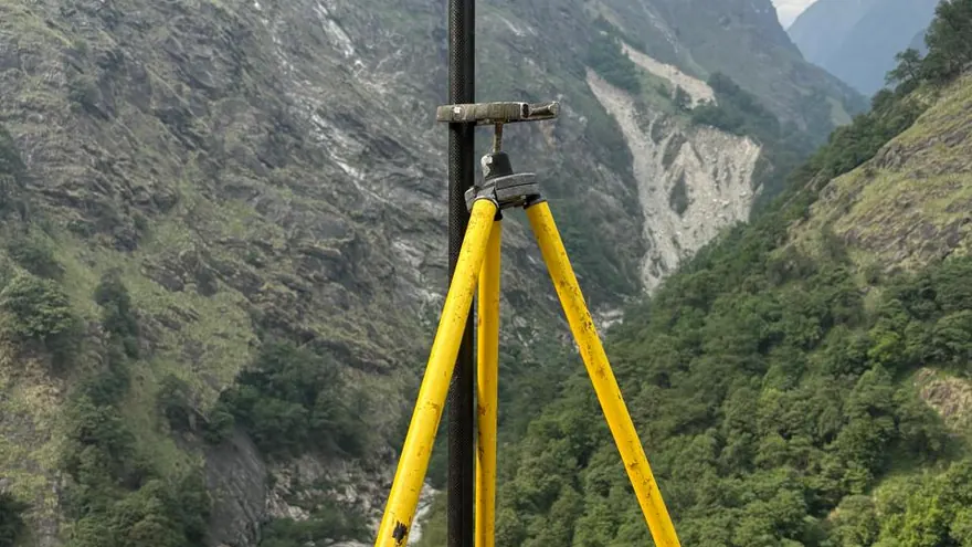
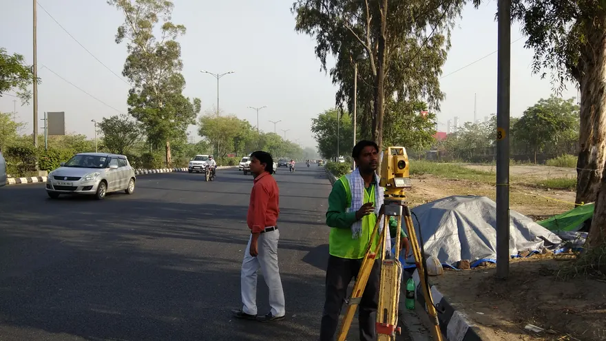
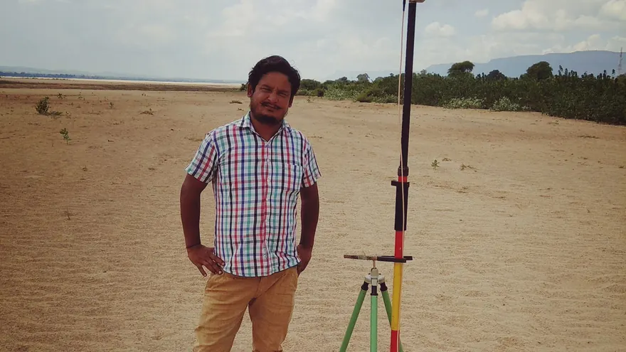
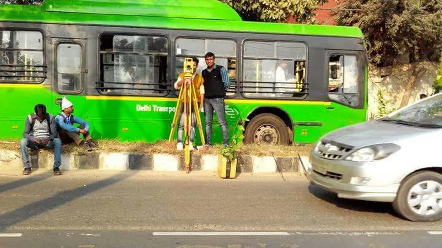
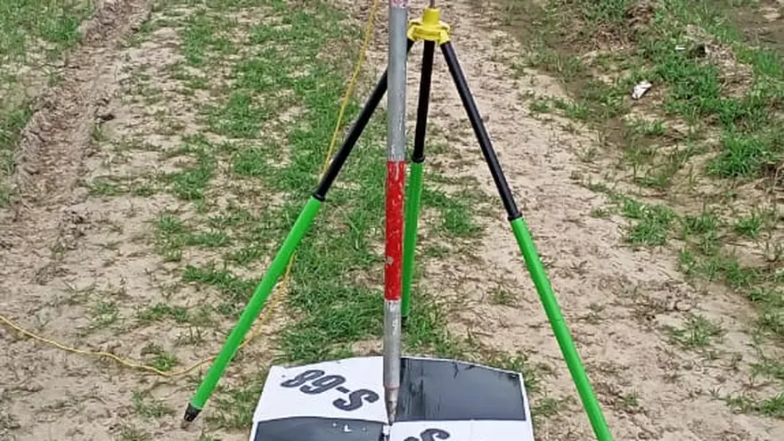
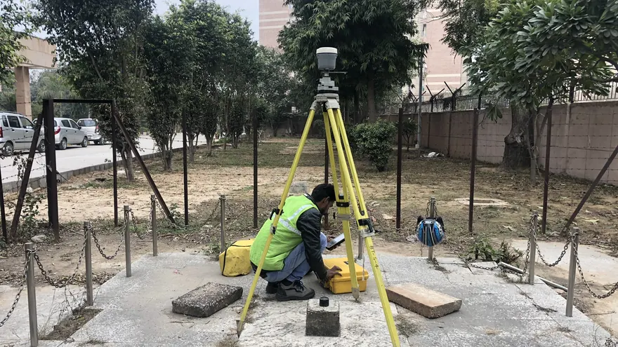
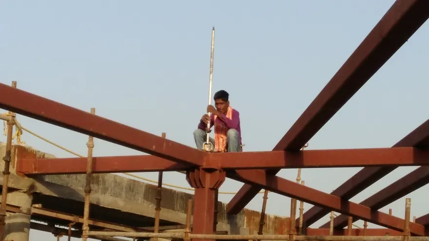
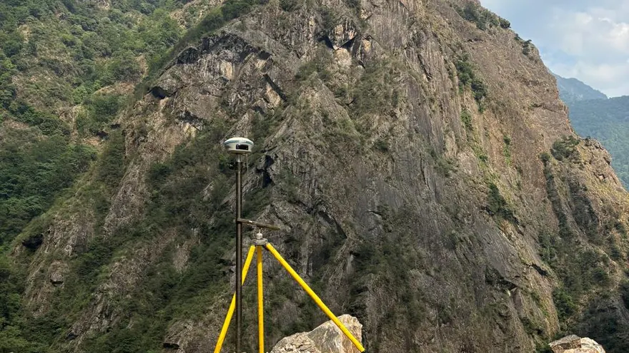
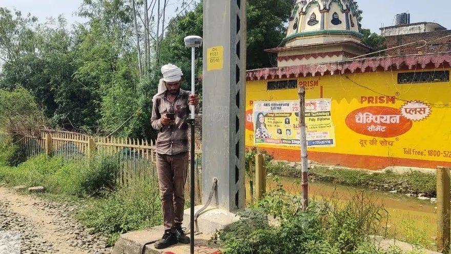
Card images show BTPL field operations representative of each survey type.
Planning a Similar Project?
Share your project location, scope and required deliverables — our team will review the requirement and respond with the appropriate survey approach.