 Government / Water Resources
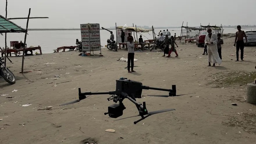
Garhmukteshwar Riverfront — Drone LiDAR & Bathymetric Survey
RGB Point CloudOrthomosaicDTM & DSMTopographic DWGXYZ File
ClientHapur Zila Panchayat

High-resolution aerial mapping, orthophotos, terrain modelling and engineering survey data for infrastructure and land-development projects.
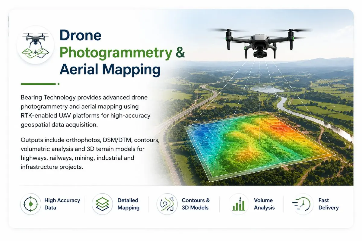
UAV photogrammetry captures hundreds of acres per day at ground sampling distances of a few centimetres, producing survey data that would take conventional ground methods weeks to collect. BTPL operates drone mapping missions with RTK/PPK-enabled positioning and ground control established by DGPS, so aerial speed never comes at the cost of survey-grade accuracy.
Every UAV project is flown to a plan: flight height, overlap, GSD and control density are designed from the accuracy requirement, terrain and vegetation of the specific site — not from a standard template.
Bearing Technology Private Limited (BTPL) uses UAV photogrammetric survey to capture high-resolution aerial imagery and turn it into orthophotos, terrain models and engineering survey data for infrastructure and land-development projects, including:
Site assessment, airspace considerations, flight-grid design from required GSD and accuracy, GCP layout planning.
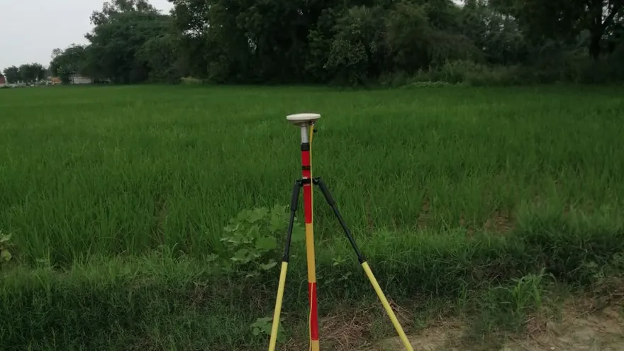
GCPs and check points established with DGPS/RTK, tied to the project datum or SOI/UTM grid as required.
Systematic photogrammetric flights with controlled overlap; data quality checked in field before demobilisation.
Aerial triangulation, dense point cloud, DSM/DTM generation, orthomosaic production and accuracy assessment against check points.
Contours, planimetric CAD mapping, volumes and GIS layers extracted to the project specification.
Accuracy is stated and verified, not assumed: independent check points are measured by GNSS and compared against the photogrammetric solution, with RMSE reported in the survey report. Where vegetation prevents reliable ground extraction from imagery, BTPL recommends drone LiDAR or supplementary ground survey rather than delivering uncertain surfaces.
Government / Water Resources
 Water Resources
 Balaji Surveyors Pvt Ltd
With proper ground control and RTK/PPK positioning, horizontal accuracy of 3–5 cm and vertical accuracy of 5–10 cm class is achievable on open terrain. The achievable figure depends on GSD, control quality and surface type, and is verified against independent check points.
UAV mapping is productive from a few hectares up to corridor and township scales of many square kilometres; multi-day operations are planned block-wise with consistent control.
Yes — photogrammetry measures the visible surface, so dense canopy hides the ground. For vegetated sites we recommend drone LiDAR, which measures through gaps in canopy, or supplementary ground survey in critical areas.
Tell us the location, the approximate area or corridor length, and the deliverables you need — we will respond with the appropriate methodology and a clear proposal.